Package: StarPal HGIS GPS Mapping Software 9.0

HGIS worksis is used to locate and map features such as power lines and other
Rating
Your vote:
Latest version:
9.5 See all
Developer:
StarPal Inc
Screenshots
1 / 1
Awards (1)
Show all awards
Software Informer Virus Free award
Demo
Download
3.1 MB

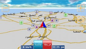
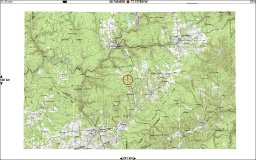
The HGIS full function demo allows you to try out all functions (some functions will not allow saving files after running). HGIS works with many types of Images, Maps, Points, Logs, and Projects. Here are some types of files and sets of files. If a pair of files is
specified, then you need both files in the pair. Some files are optional (SHX and PRJ).HGIS files are easily importable onto your desktop computer for backup, analysis, post processing and printing. Compatible formats include ESRI Shape SHP, MapInfo MIF, JPG, BMP, and DBF.

Comments

User

Your vote:

Related software

Photo GPS Extract
Photo GPS Extract
Free
rating

Tool to quickly visualize the GPS location of a photo.

StarCalc
StarCalc
Free
rating

A professional astronomy planetarium and star mapping program.

Outdoor Map Navigator
Free
rating

OMN lets you plot routes on your PC and sync them with Anquet Cloud.

GPS Egypt Nav
GPS Egypt Nav
Free
rating

Brings you the best GPS mapping and navigation package on the Egyptian market

Wanderer
Wanderer
Free
rating

Best moving map navigation software.